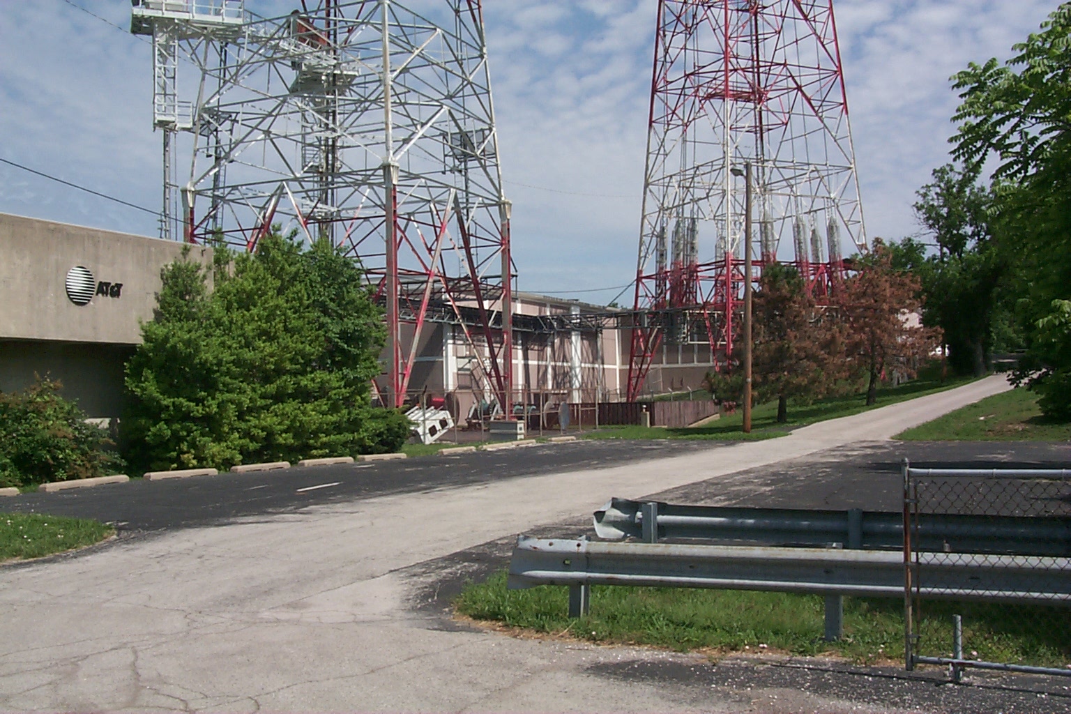
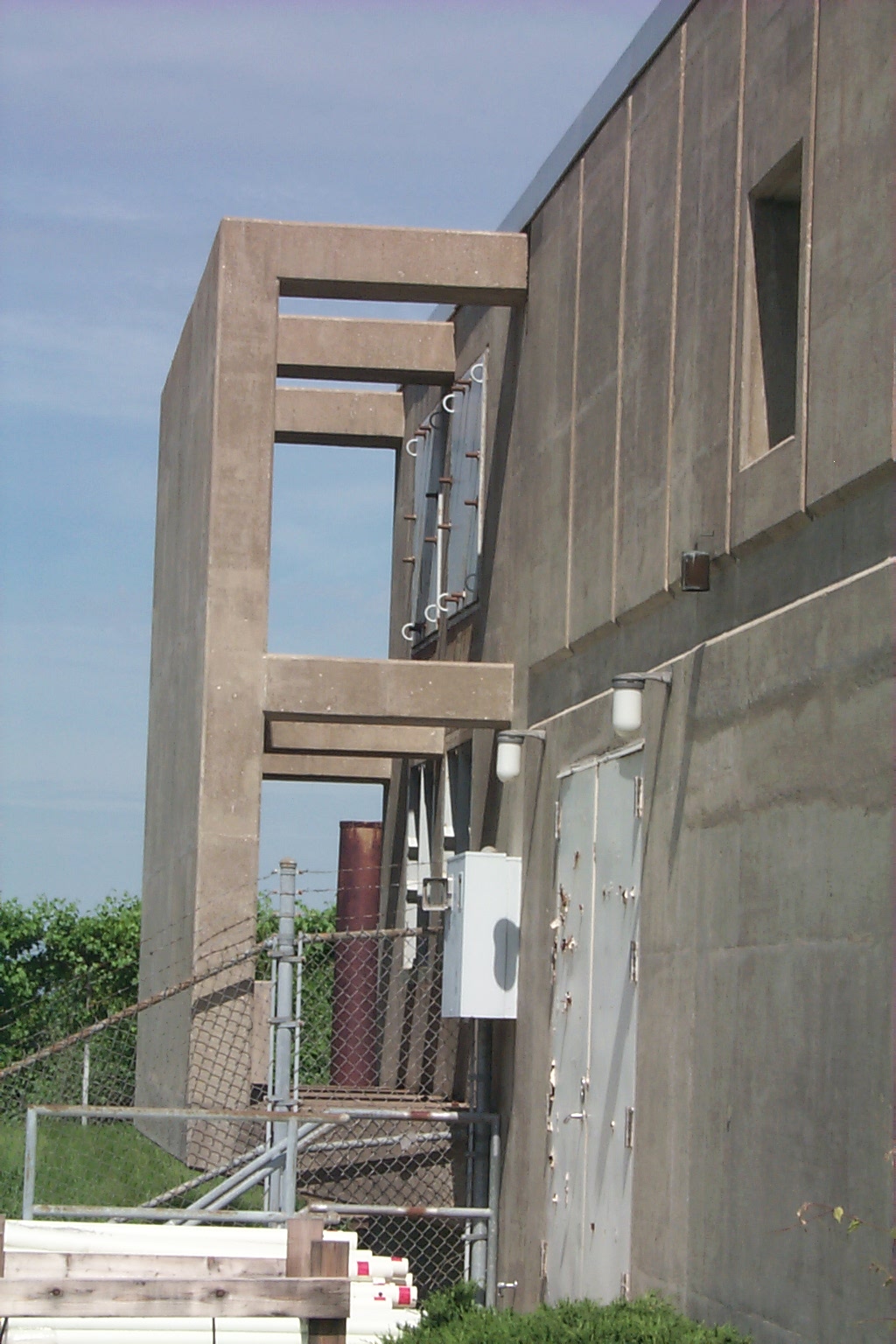
Hillsboro, MO L5 Main Station
Actual Location: 4.2 MI NE of Hillsboro, MO, 8201 Highway 31,
Jefferson County, MO.
GPS Coordinates: FCC License Coordinates:
38o 19.533' N
38o 19' 32"
90o 31.700' W
90o 31' 42"
1995 FCC License Data:
451.325 KBG898 IT FB2
Terraserver Image:
http://www.terraserver.microsoft.com/image.asp?S=10&T=1&X=3580&Y=21223&Z=15&W=2
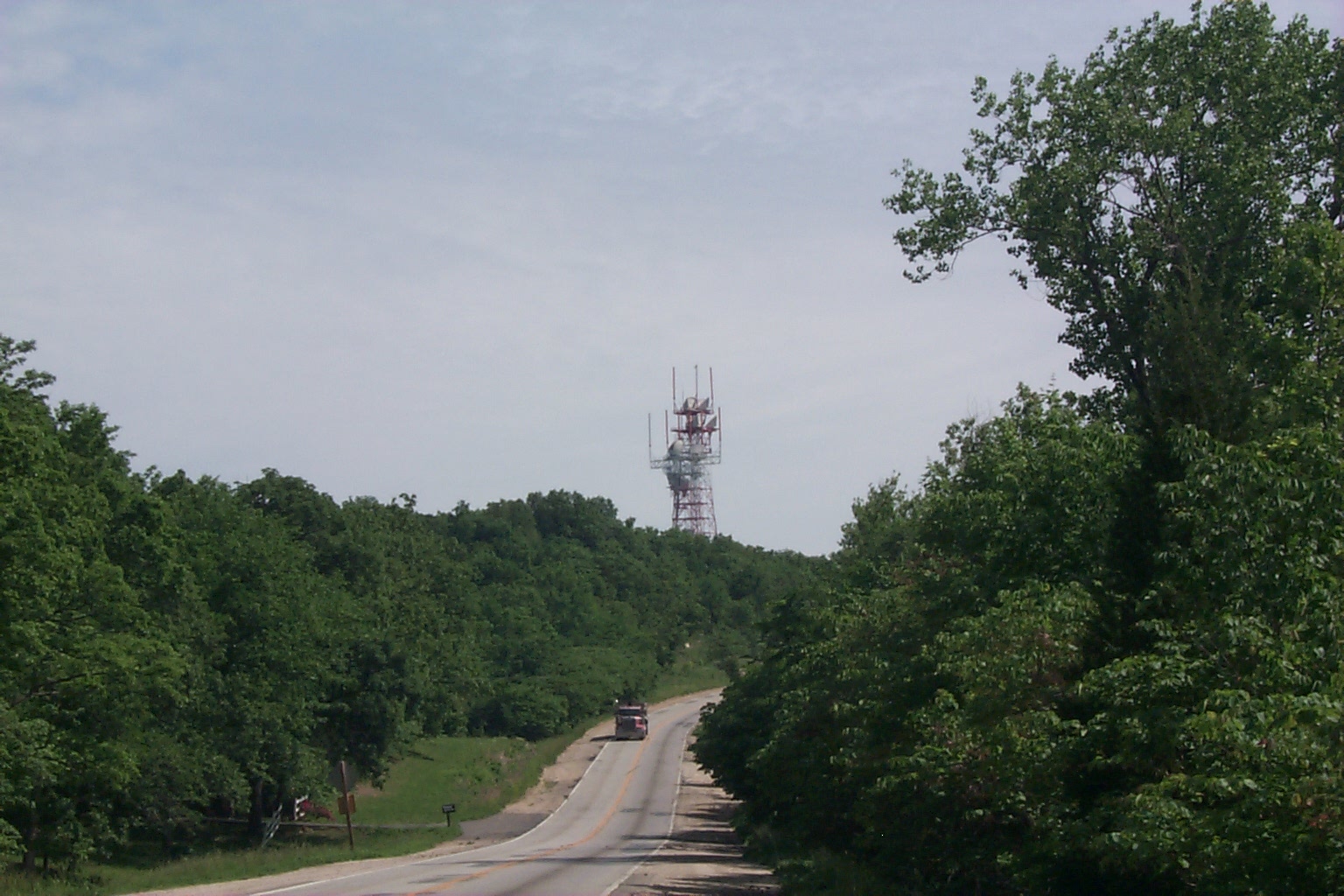
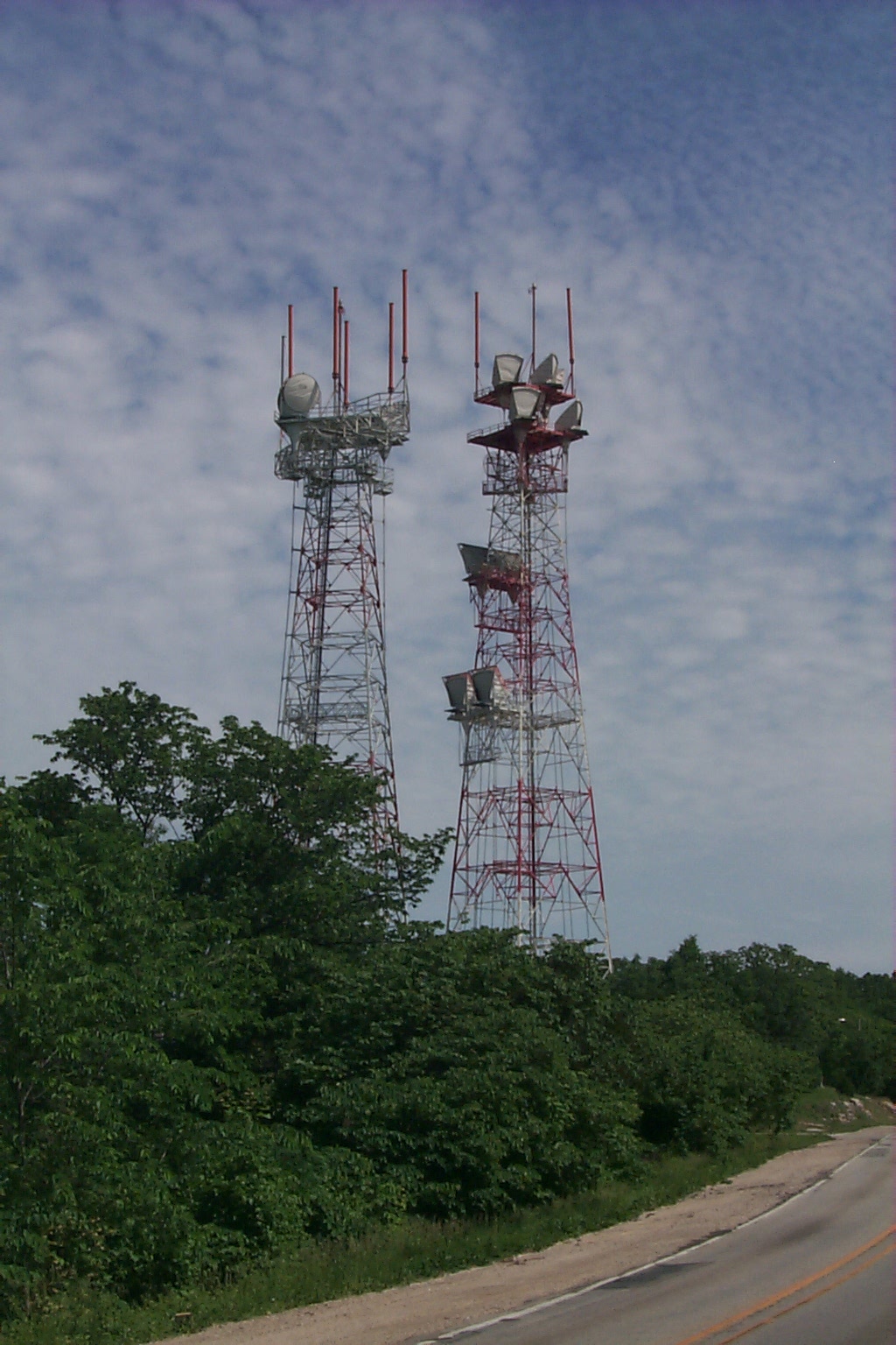
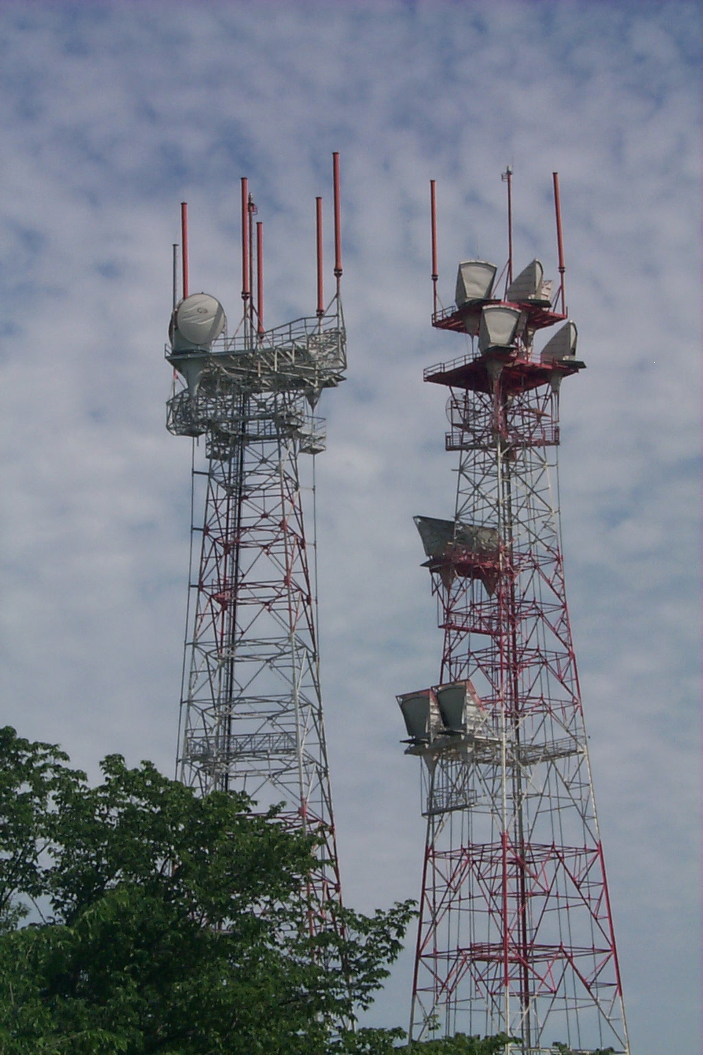
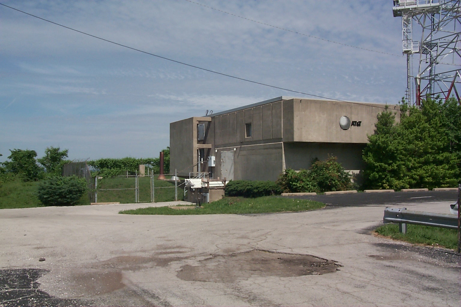
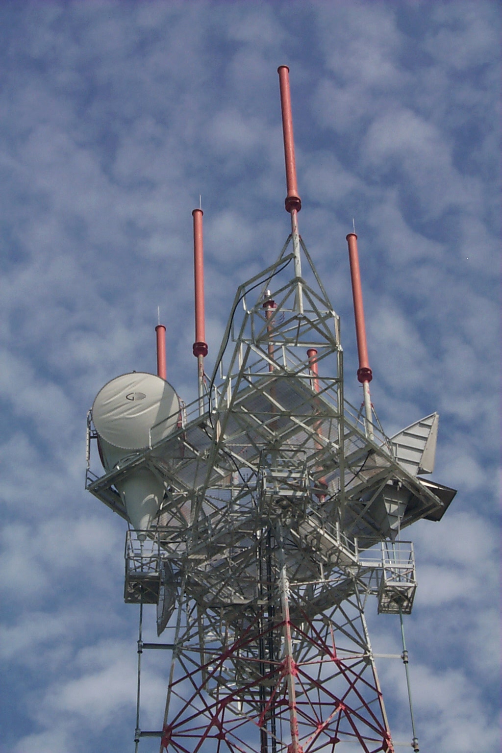
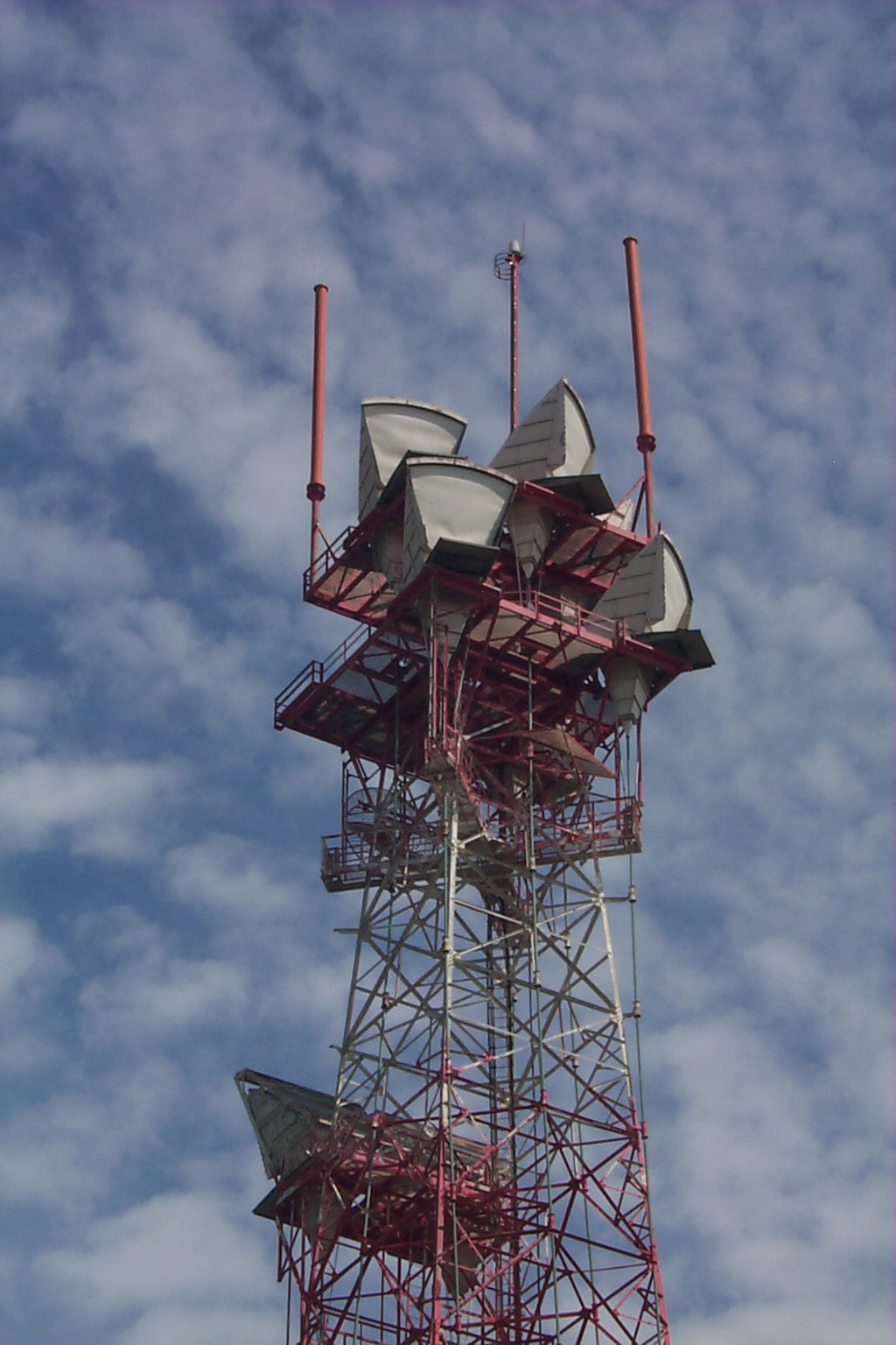
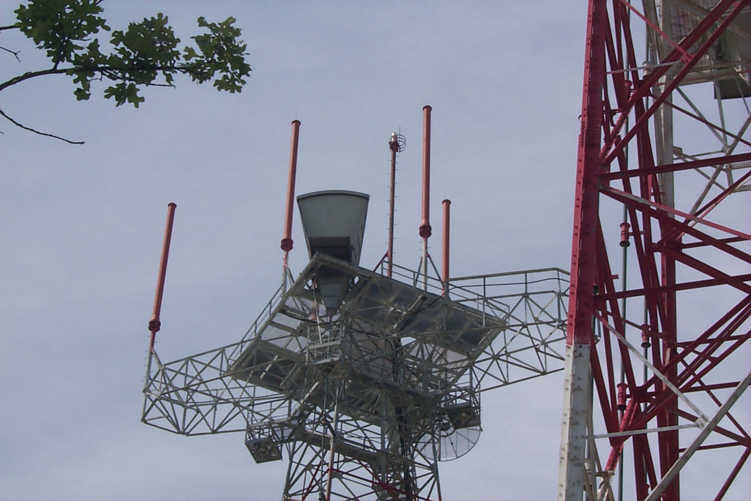
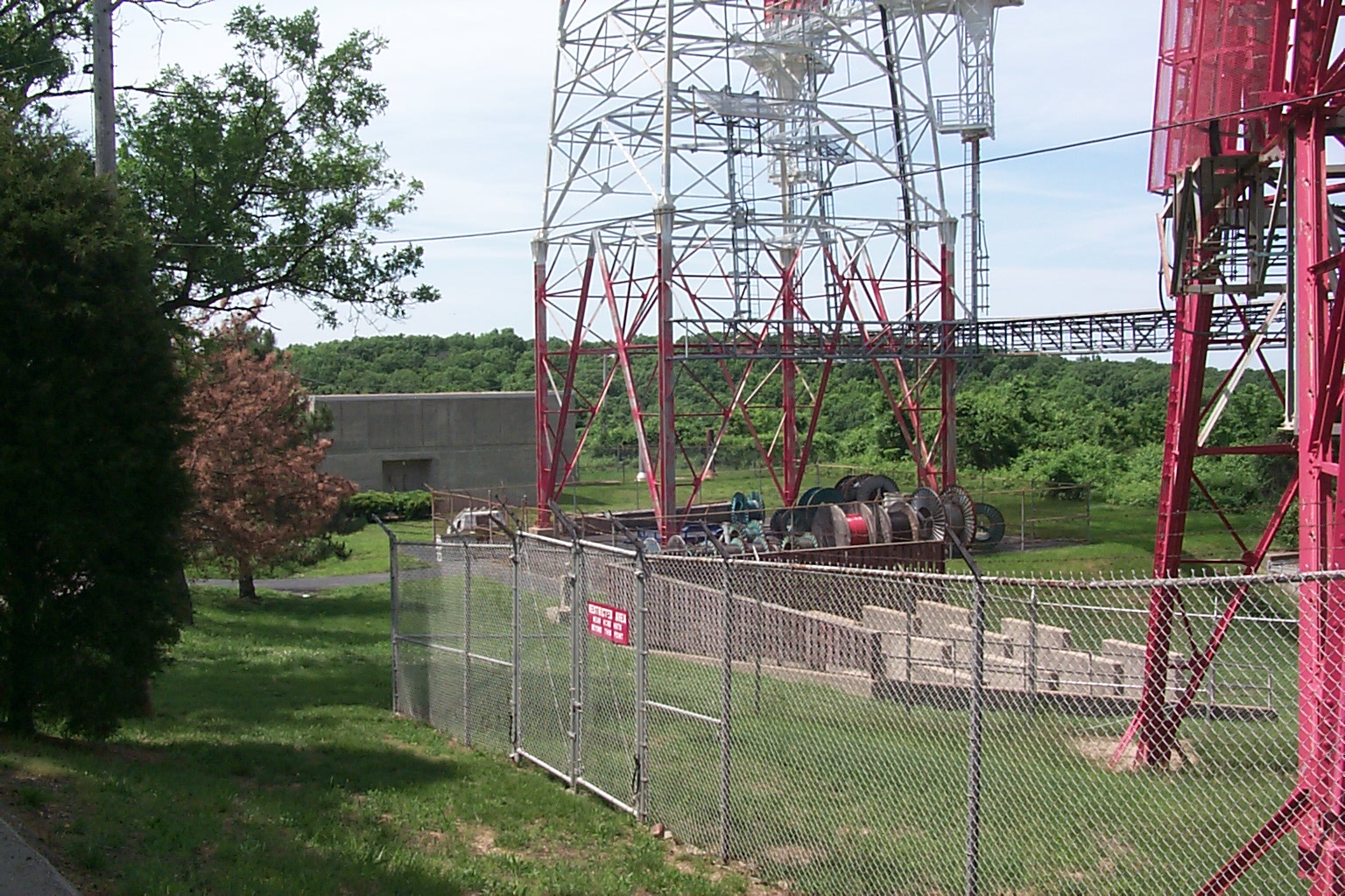
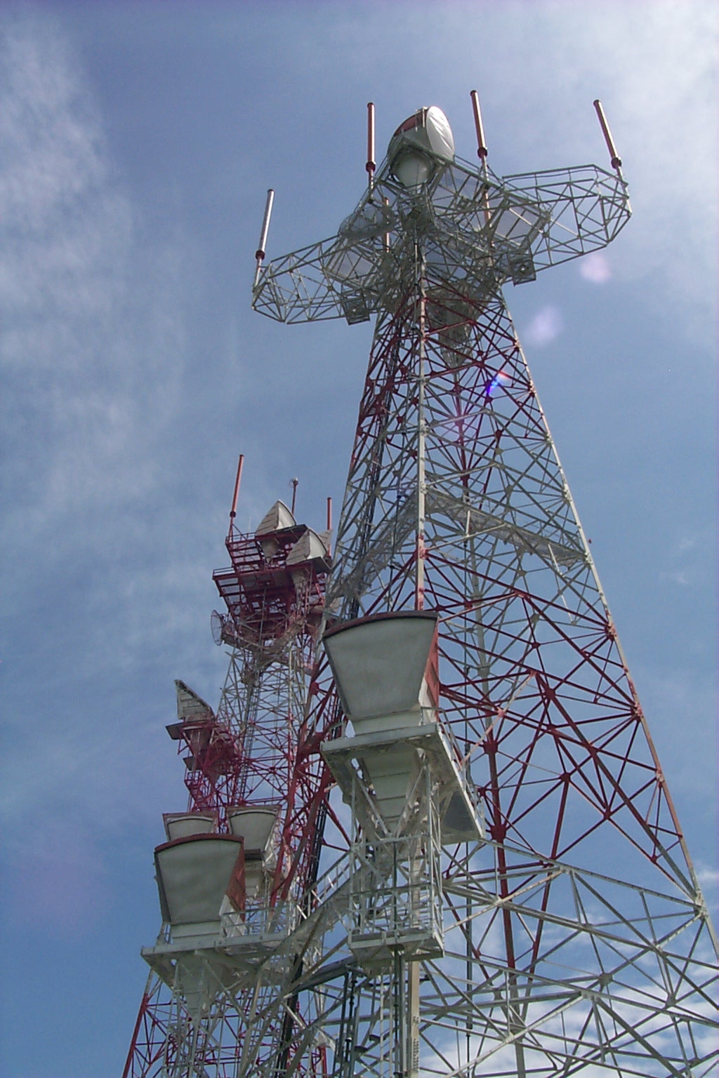
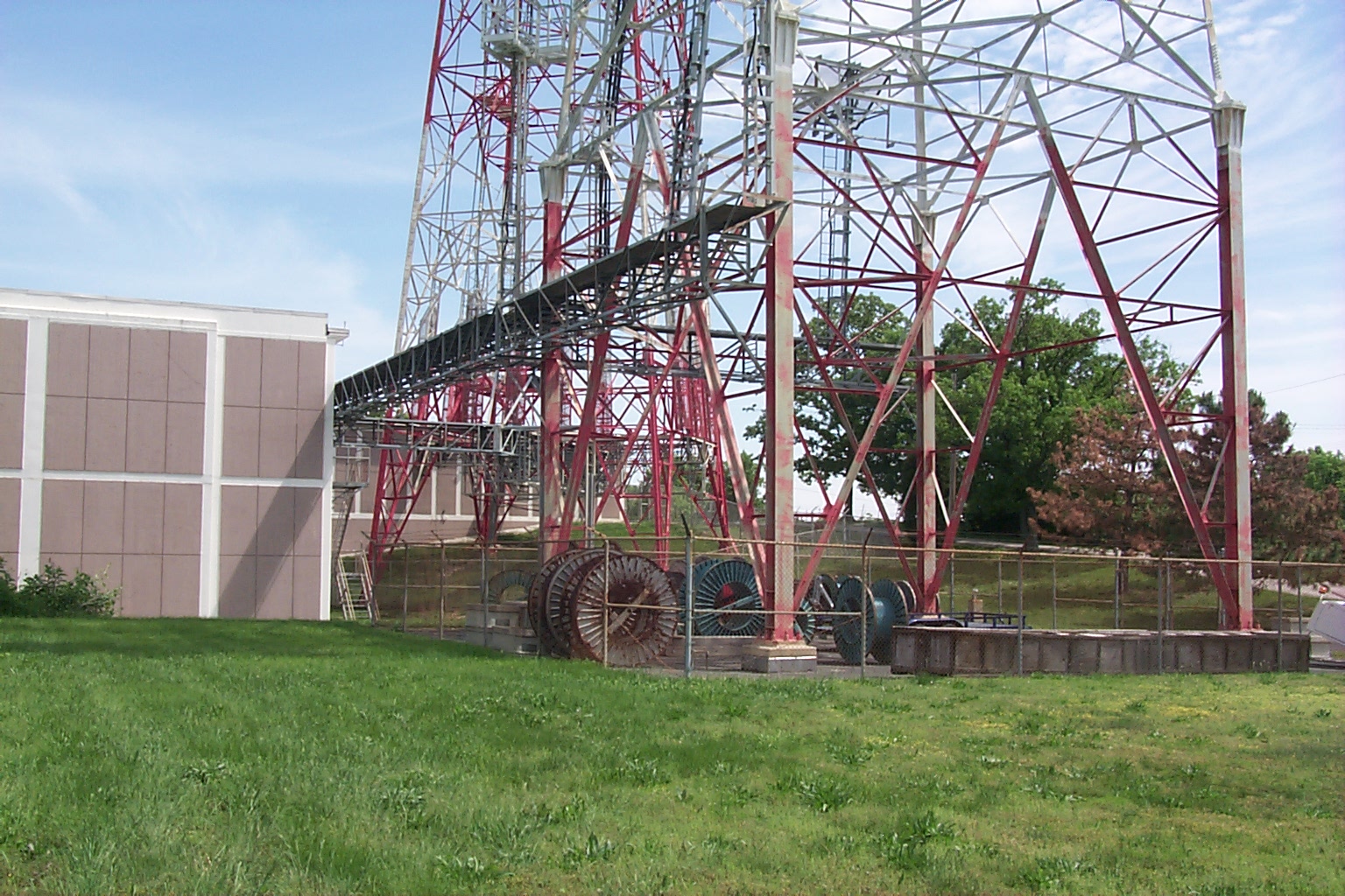
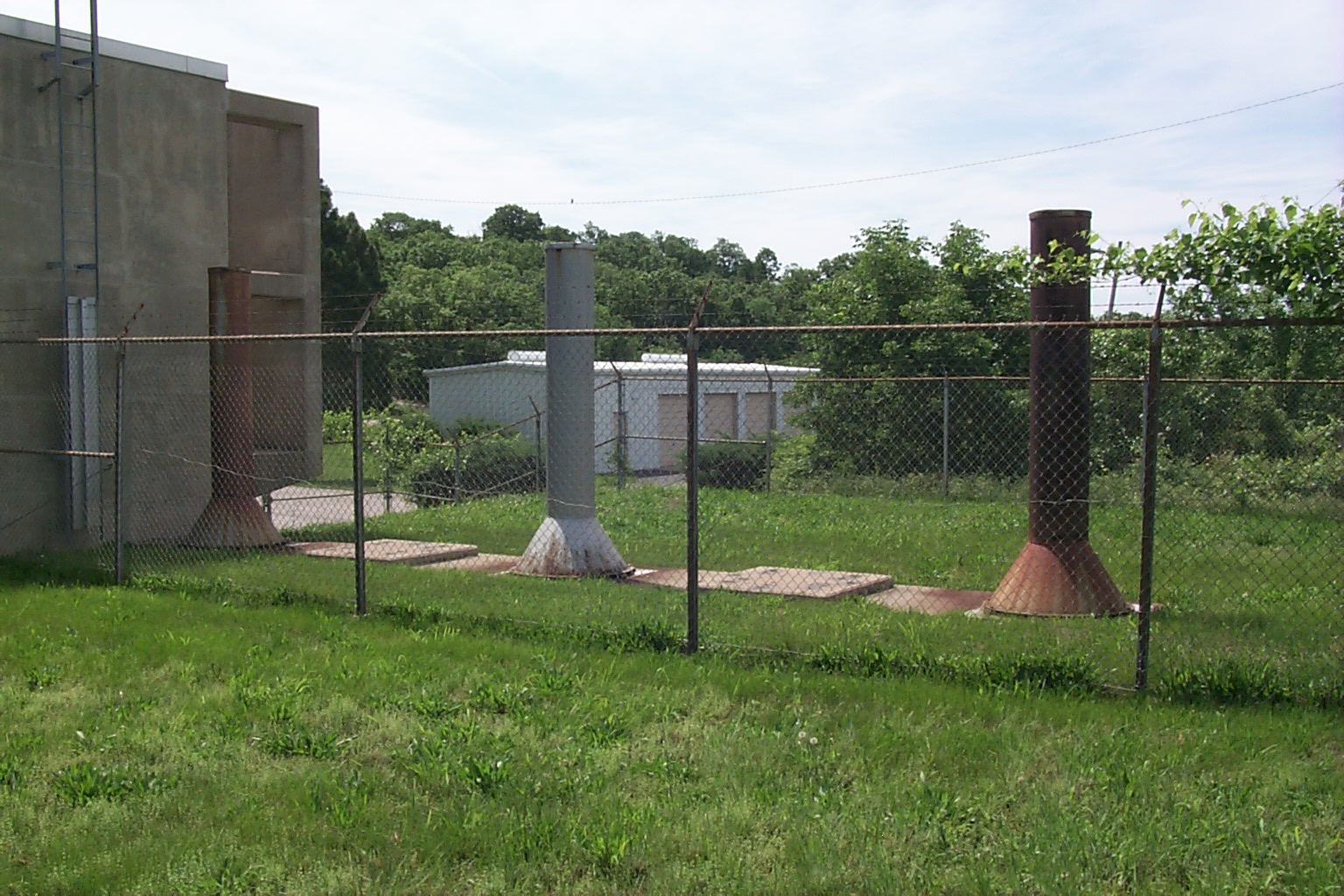
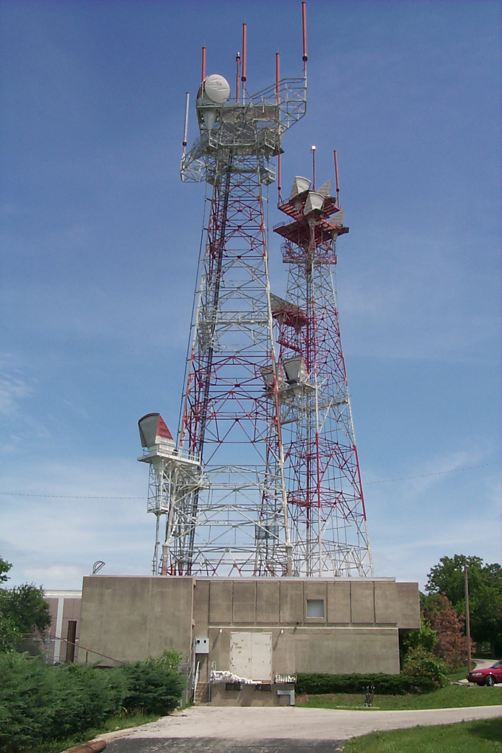
Hillsboro (spelled "Hillsborough" on the FCC record for the above
license) is the western terminus of the L5 system originating at Lillyville,
PA. The L5 system ends here and was never continued west, although an
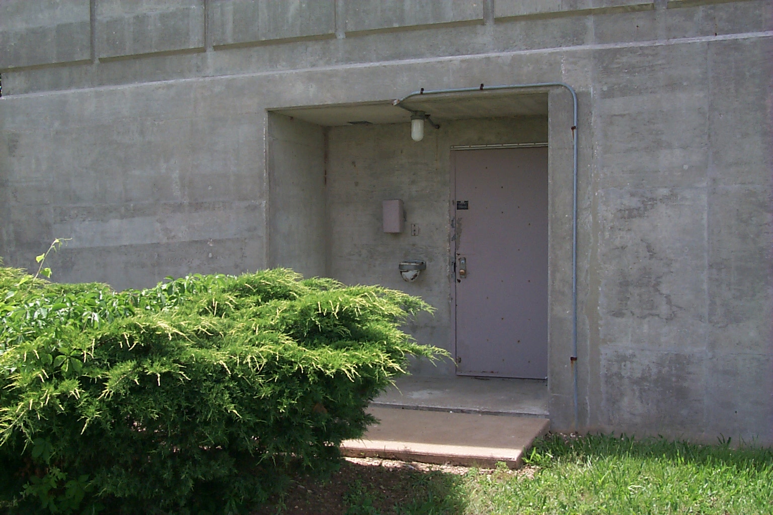
underground building was constructed outside of Kansas City. The
underground is currently empty, and the microwave radio is turned down, although
the site remains a major junction of fiber optic cables, and also has a 4ESS
toll switch for the AT&T network. Hillsboro is also a Ground Entry
Point for the Combat Ciders air/ground network in support of the National
Command Authorities Airborne Command Post system.
Be sure to see the pics on page 2 by following the link at the bottom of
the page!
Home| |Next Page
This thumbnail page was generated by the evaluation version of ThumbsPlus
1 2
©2000 Michael W. Jacobs. Commercial use prohibited.