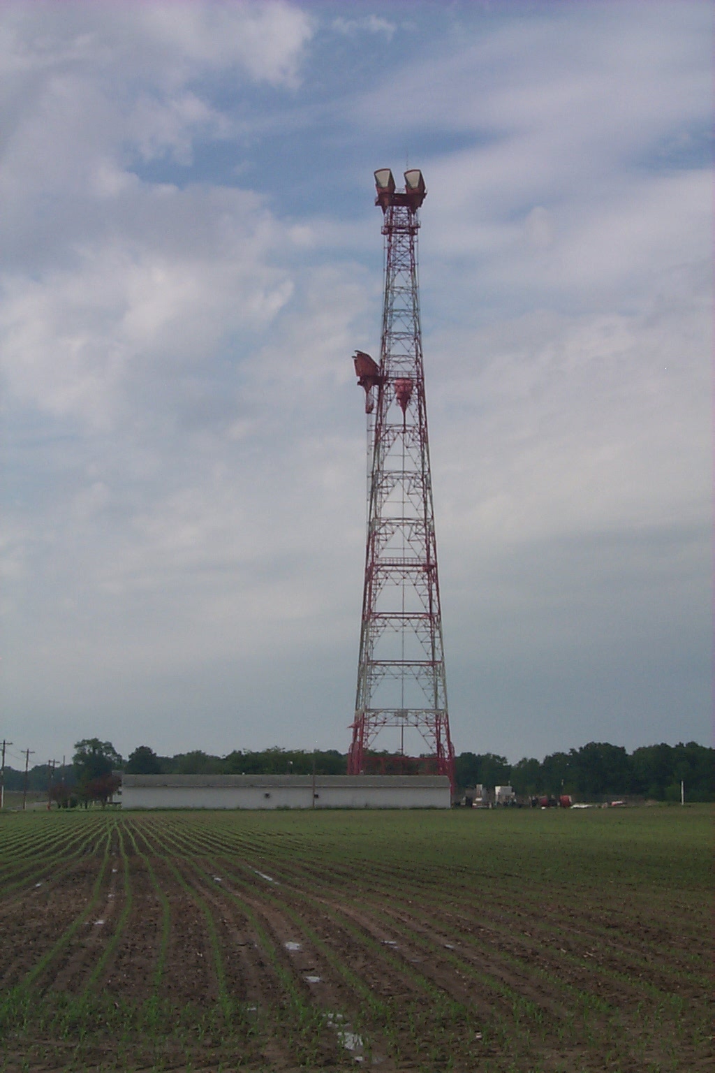
Morgantown, IN L5 Main Station
Actual Location: 2.1 MI N of Morgantown, IN, Intersection of E County
Line Rd and Rd 500S, 2.9 MI S of IN Route 44 on E County Line Rd (best access),
Beaver County, PA.
GPS Coordinates: FCC License Coordinates:
39o 24.250' N
39o 24' 15"
86o 15.050' W
86o 15' 03"
1995 FCC License Data:
451.325 KRU280 IT
FB2
Terraserver Image:
http://terraserver.microsoft.com/image.asp?S=10&T=1&X=2822&Y=21809&Z=16&W=2
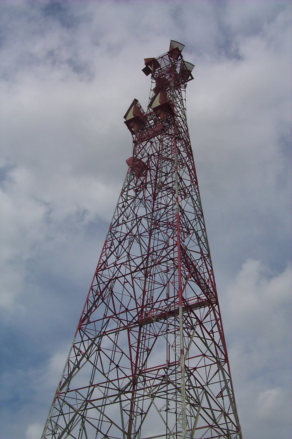
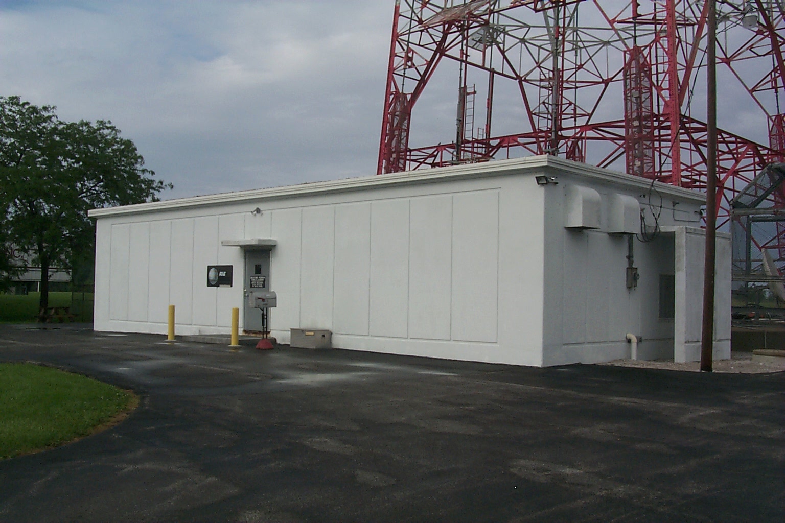
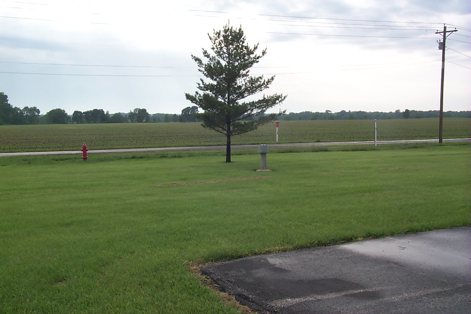
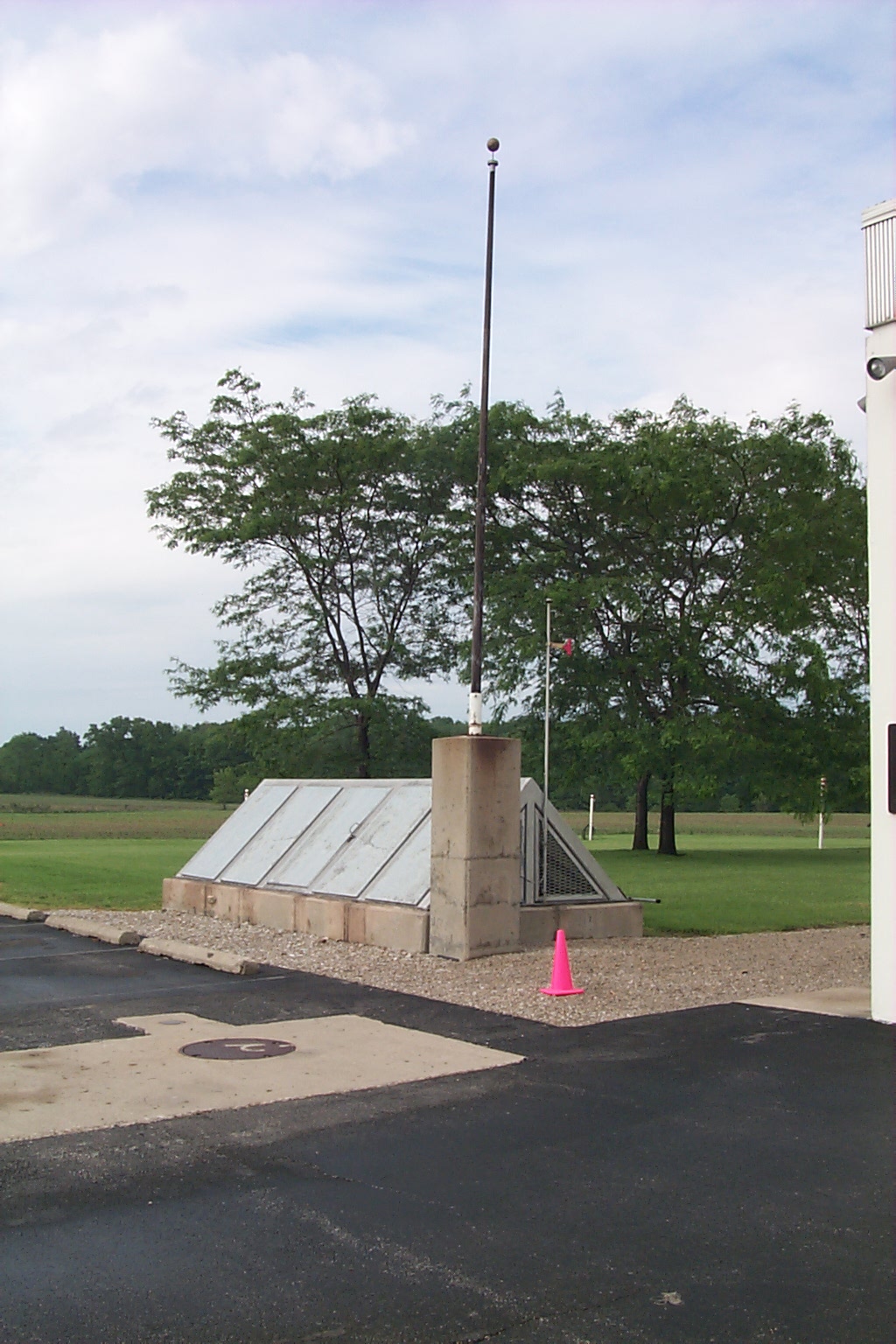
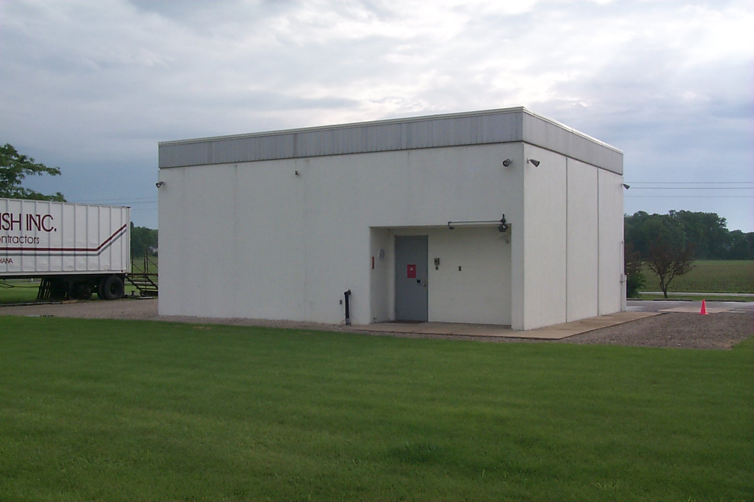
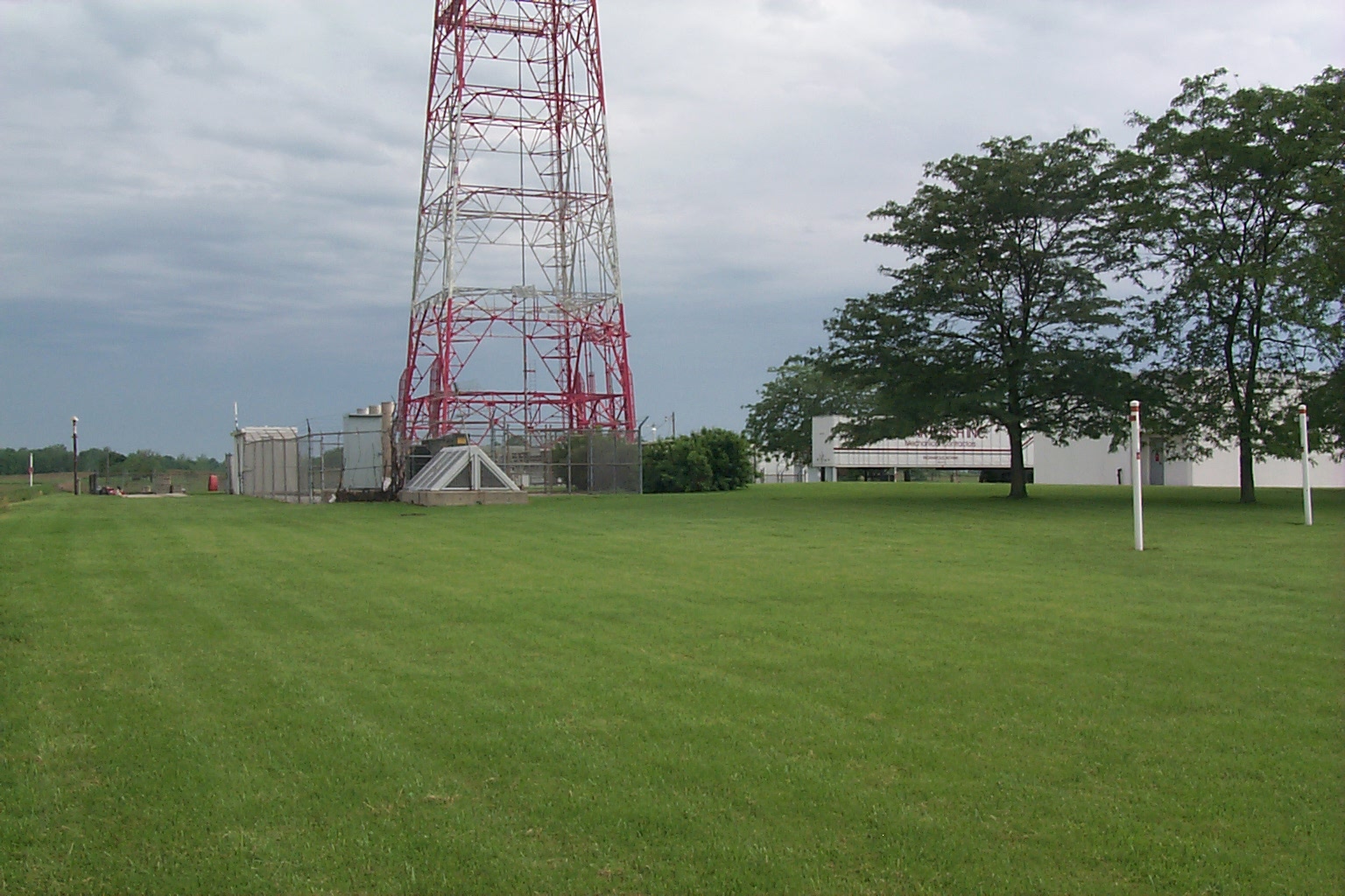
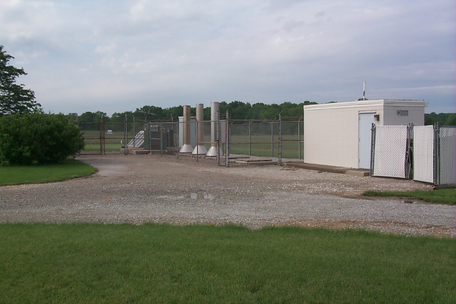
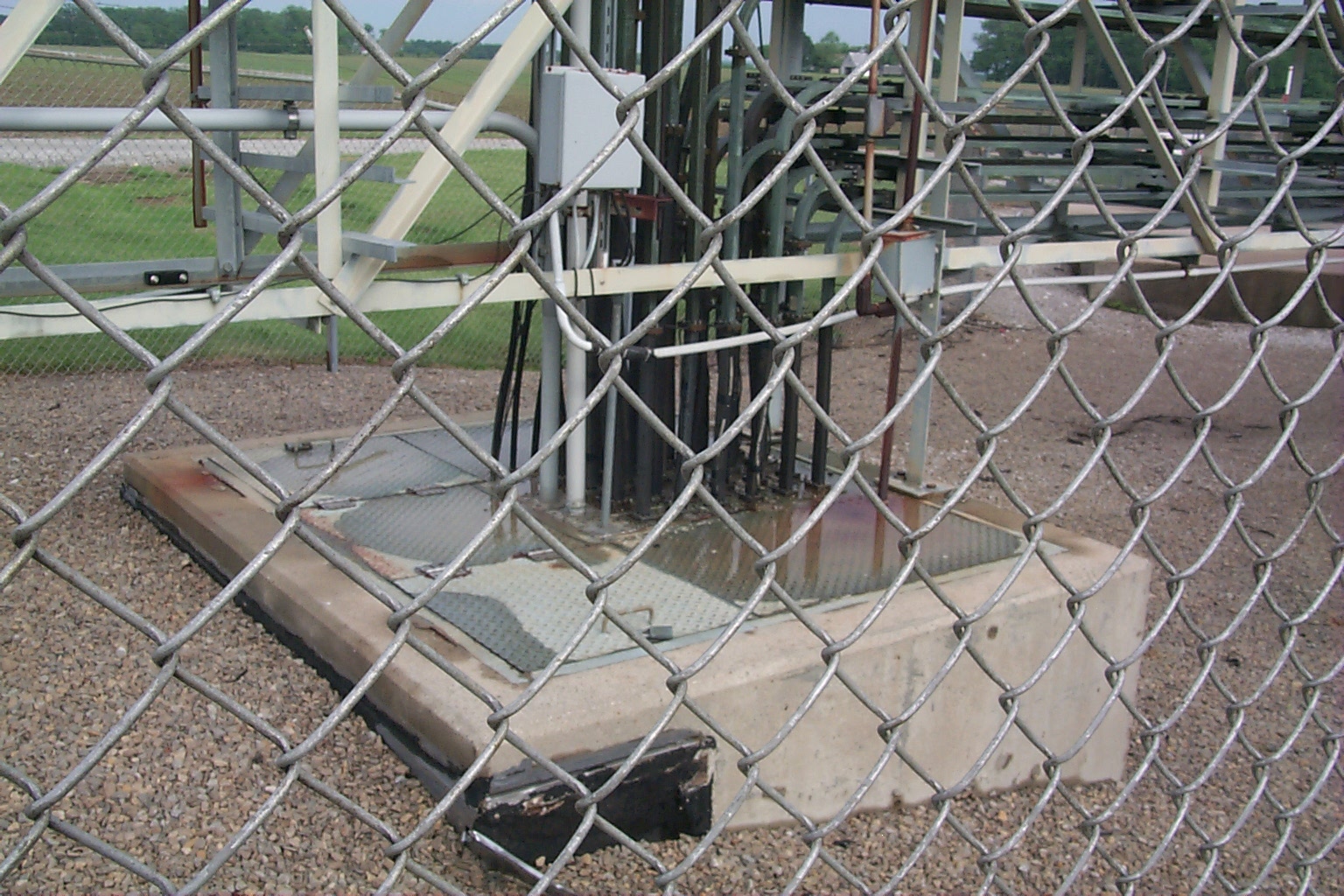
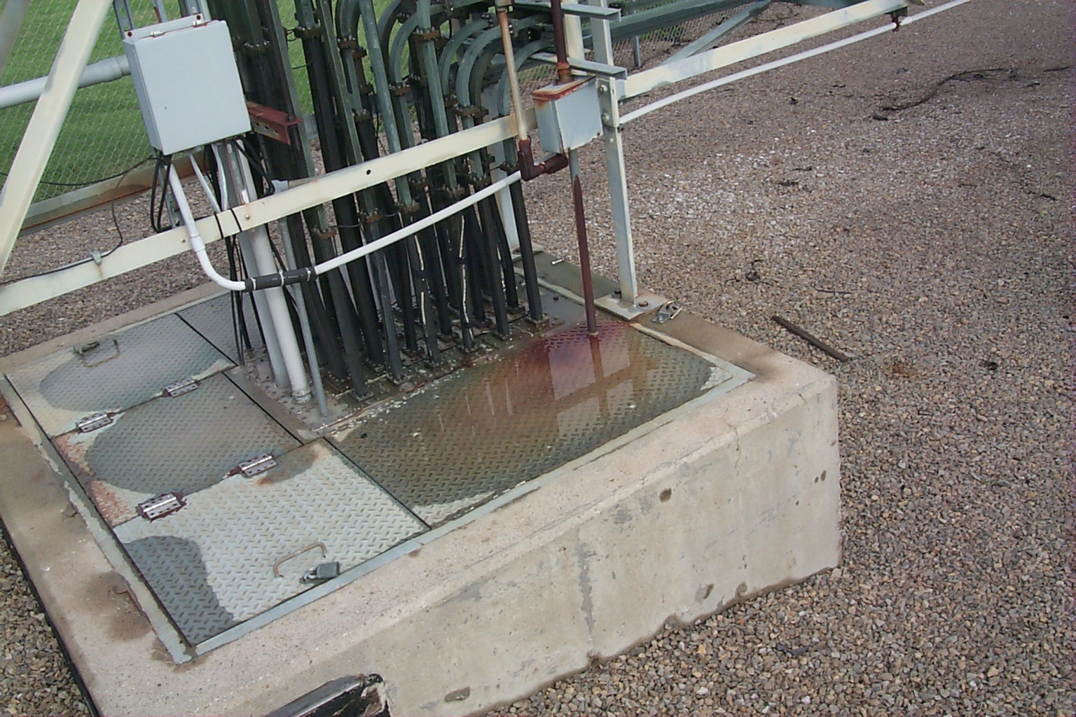
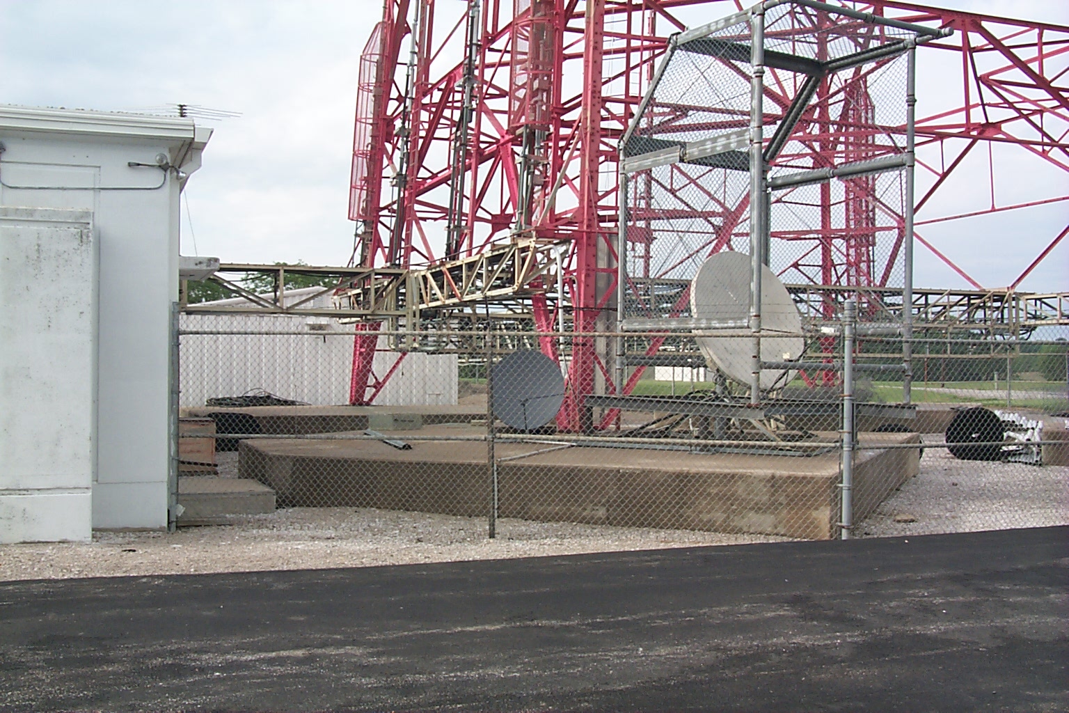
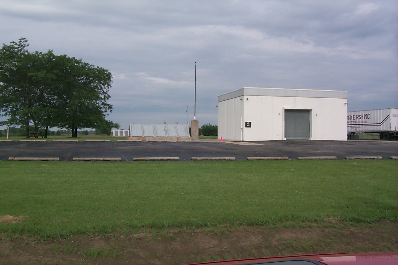
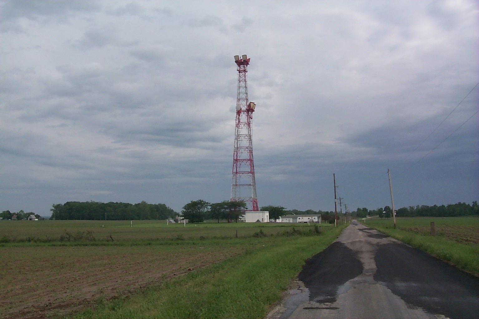
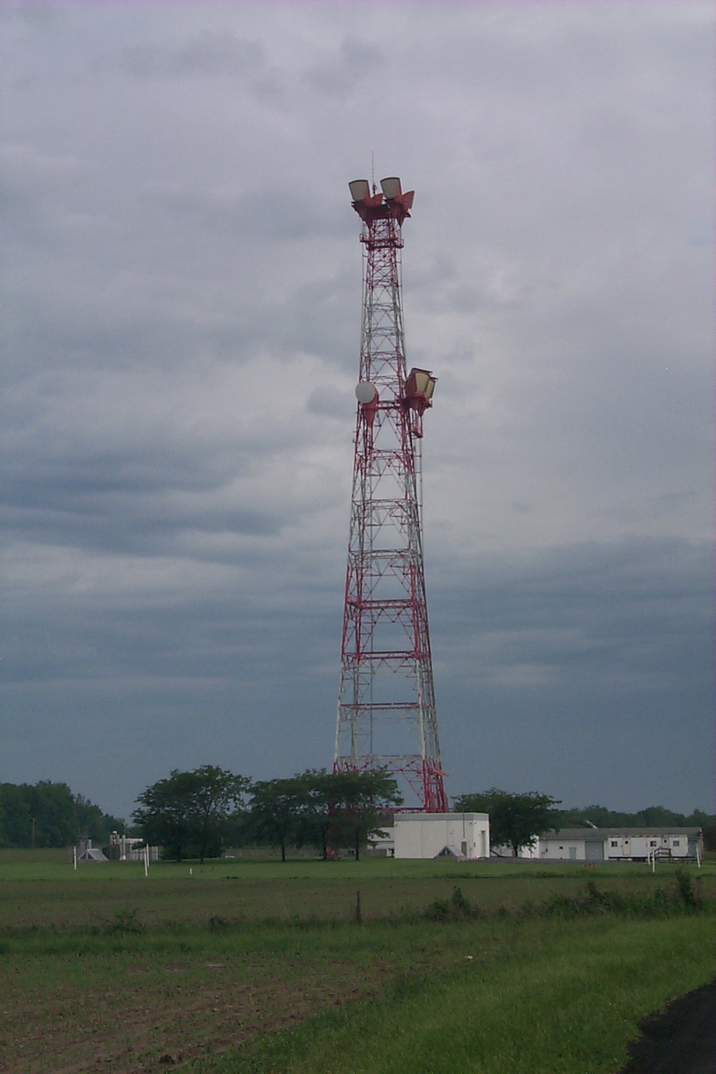
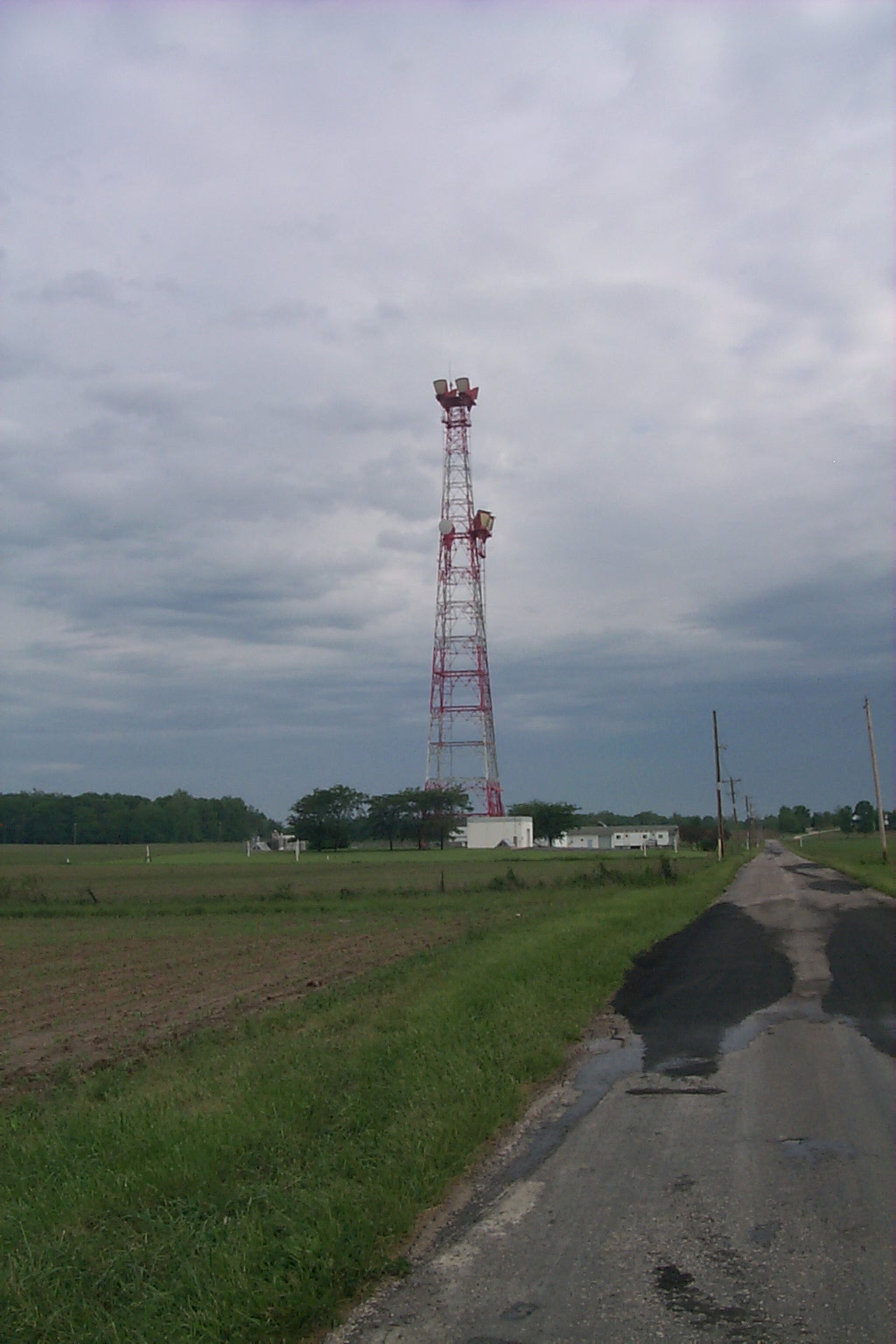
Site appears to be in current use as a fiber optic terminal station.
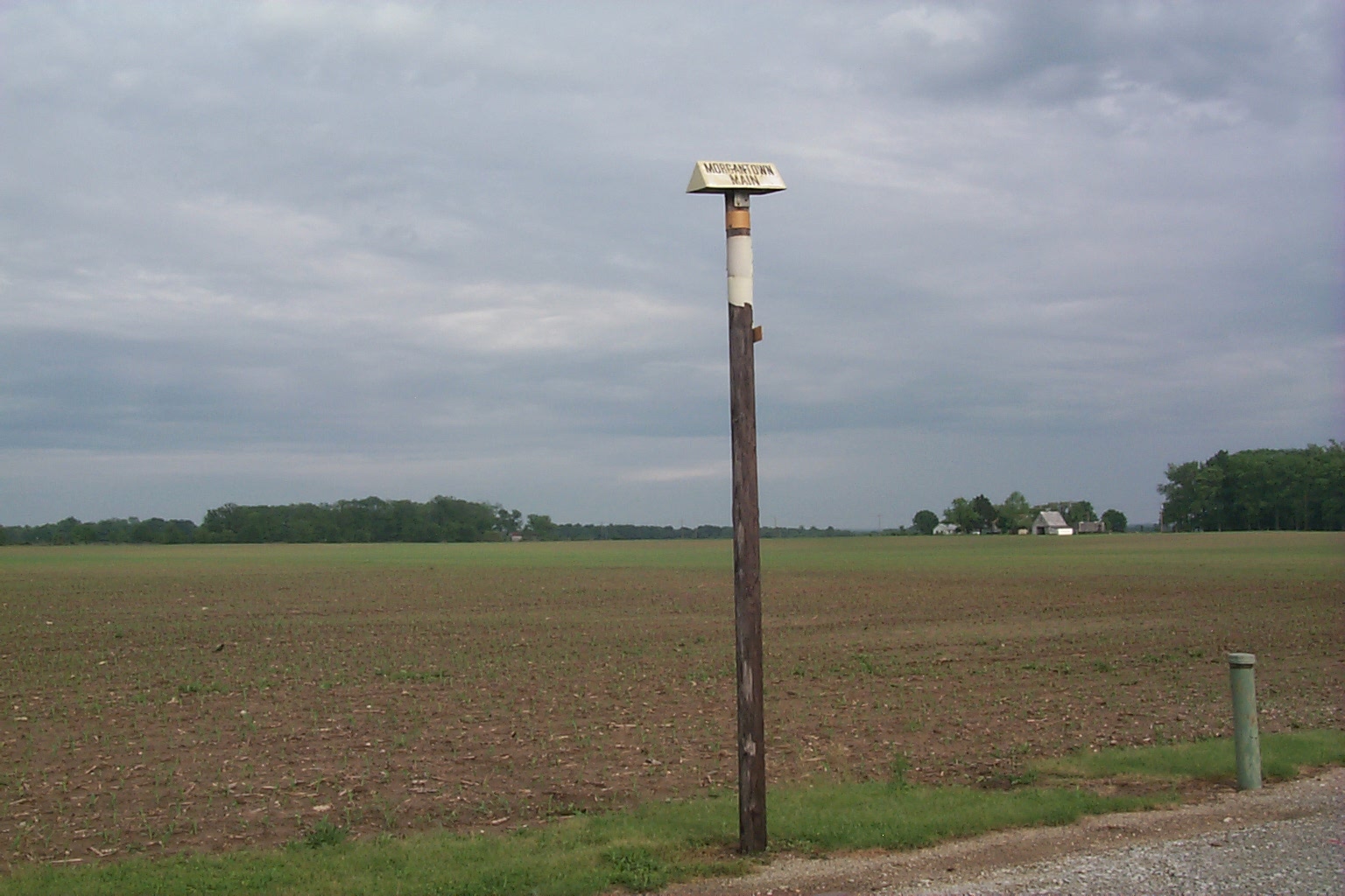
New cable marker posts in the area are visible. The terminal equipment
appears to be underground. The aboveground building is rather small and at
some time in the past all the waveguides from the tower were rerouted into the
underground. A sign on the door to the aboveground building instructs
delivery people to go to the underground and ring for the technician.
Home| |
This thumbnail page was generated by the evaluation version of ThumbsPlus
©2000 Michael W. Jacobs. Commercial use prohibited.