Xenia, OH L5 Main Station
Actual Location:
1 MI W of Paintersville, OH, 9 MI SE of Xenia, OH,
Intersection of East Spring Valley - Paintersville Rd and New Hope Rd, 3/4 MI E of OH
Route 68 on East Spring Valley - Paintersville Rd, Greene County, OH.
GPS
Coordinates: FCC License Coordinates:
39o 34.685'
N
39o 34' 41"
83o 50.481'
W
83o 35' 31"
1995 FCC
License Data:
451.325
KTY69 IT FB
456.325
KTY69 IT FX1
Terraserver
Image:
http://terraserver.microsoft.com/image.asp?S=10&T=1&X=1279&Y=21924&Z=17&W=2
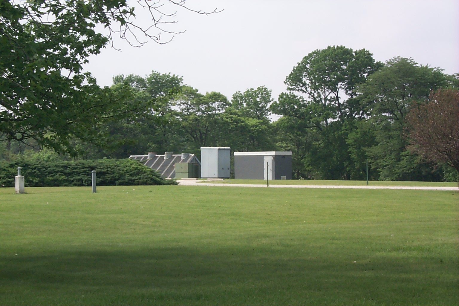
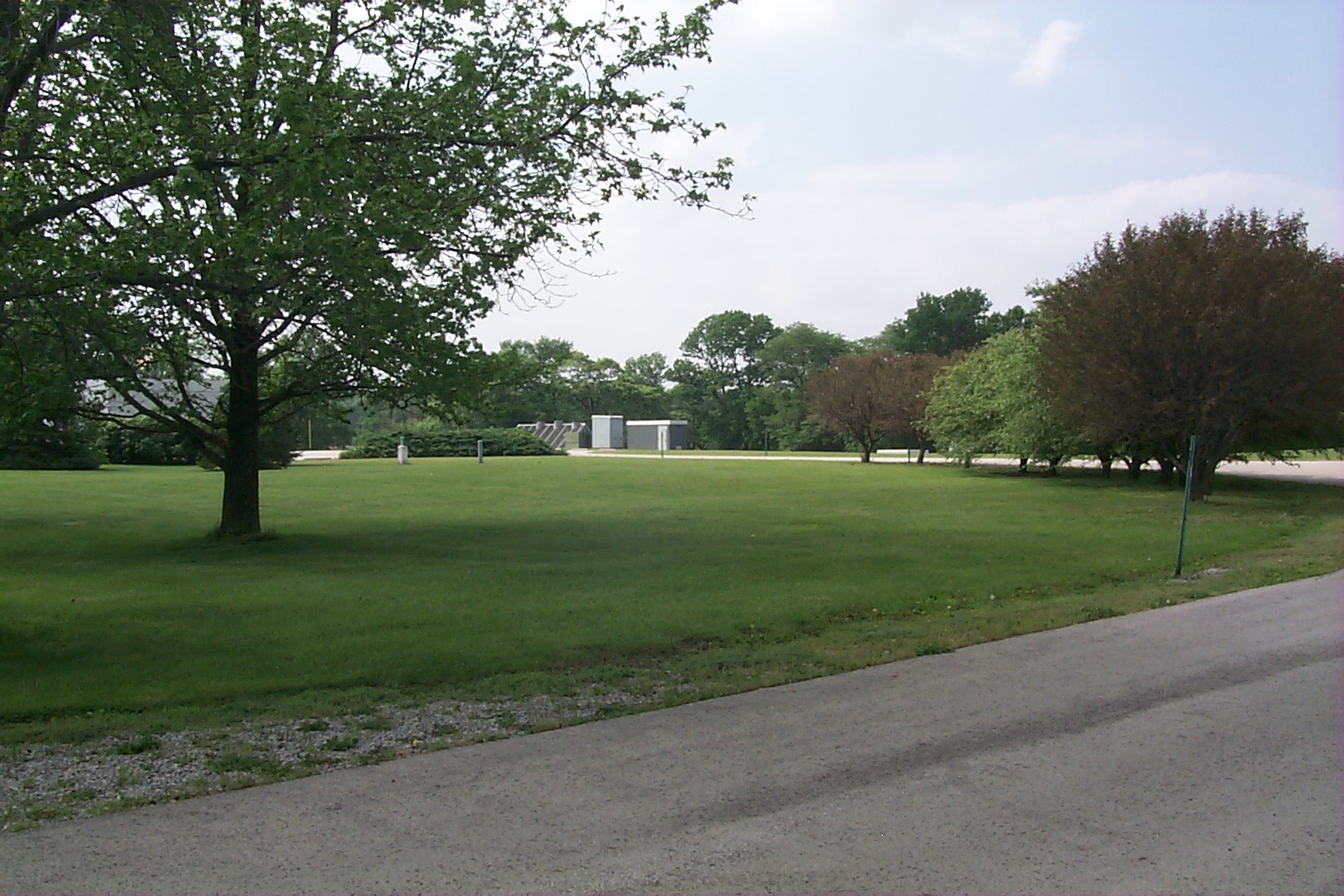
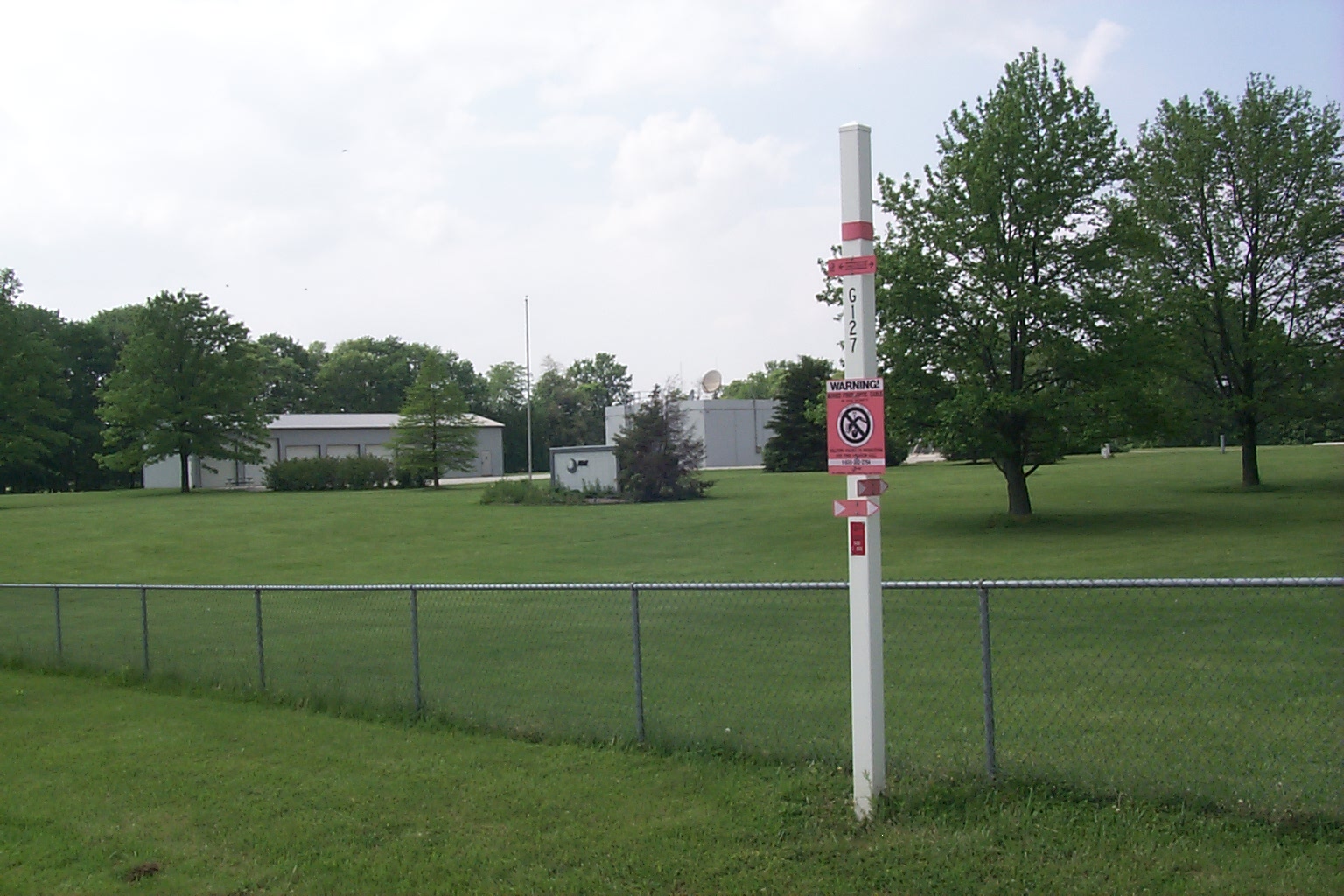
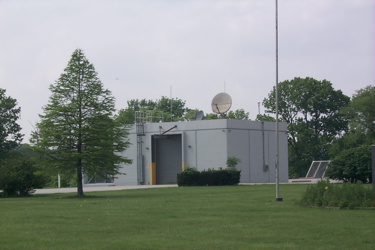
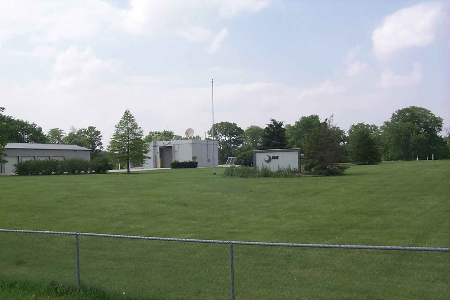
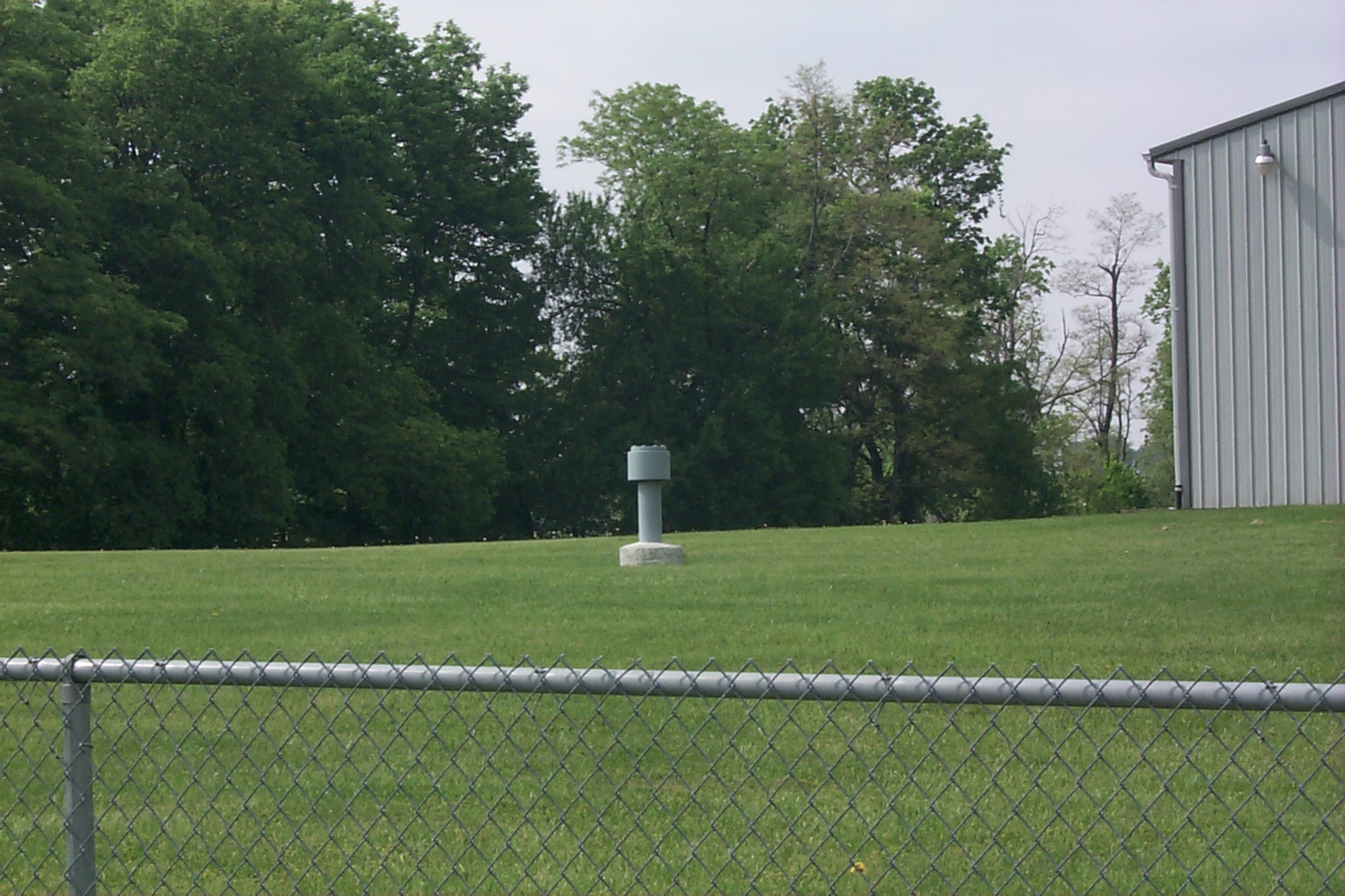
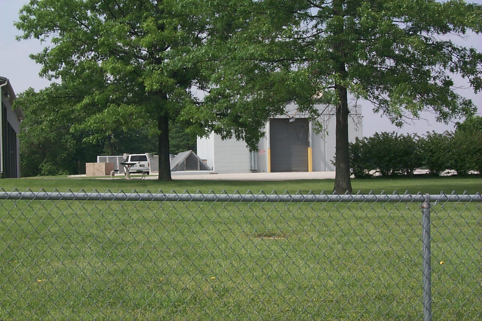
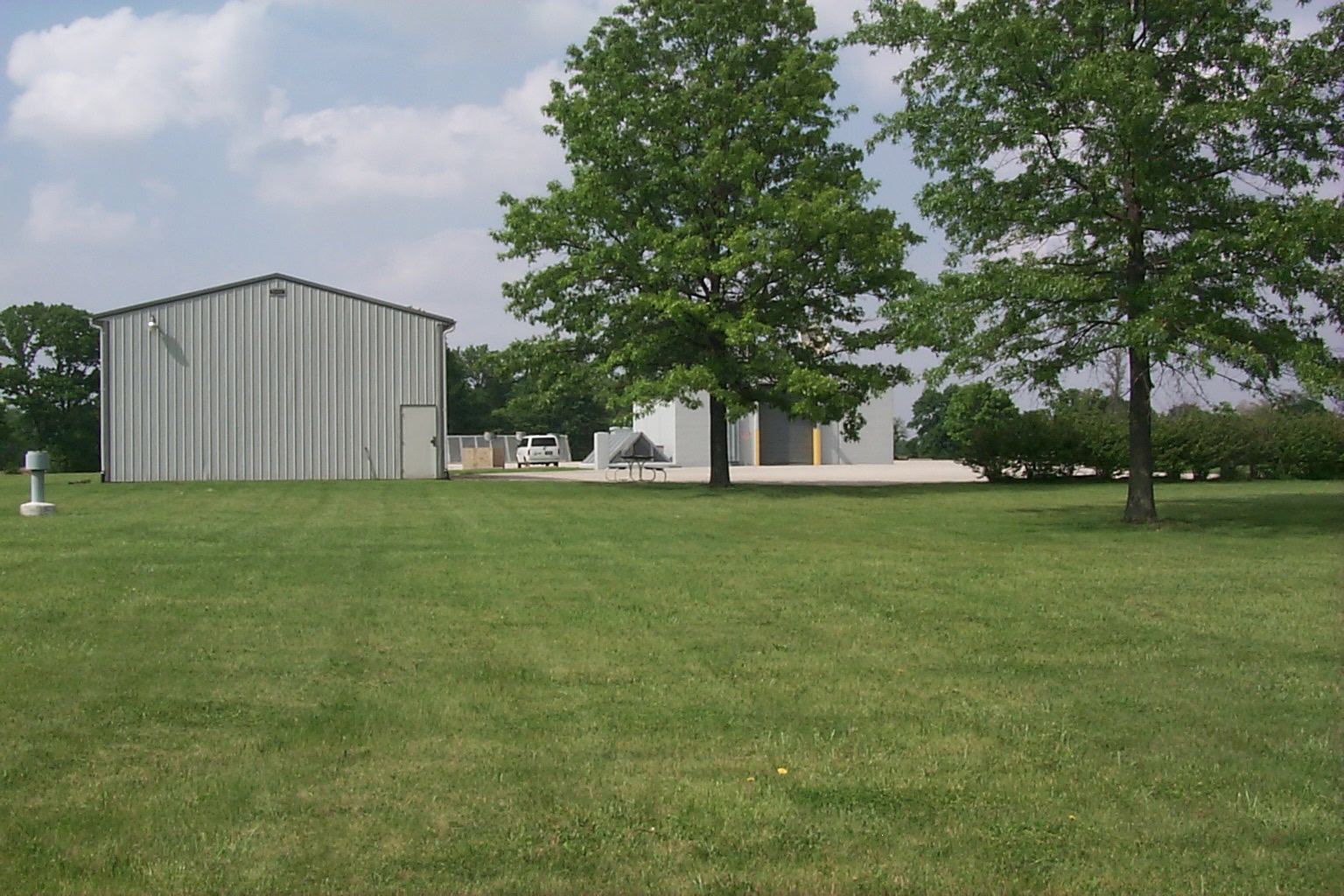
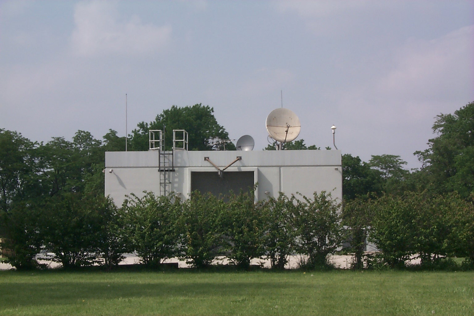
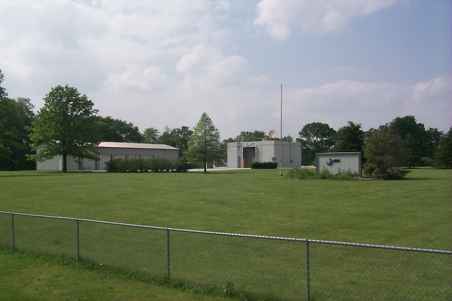
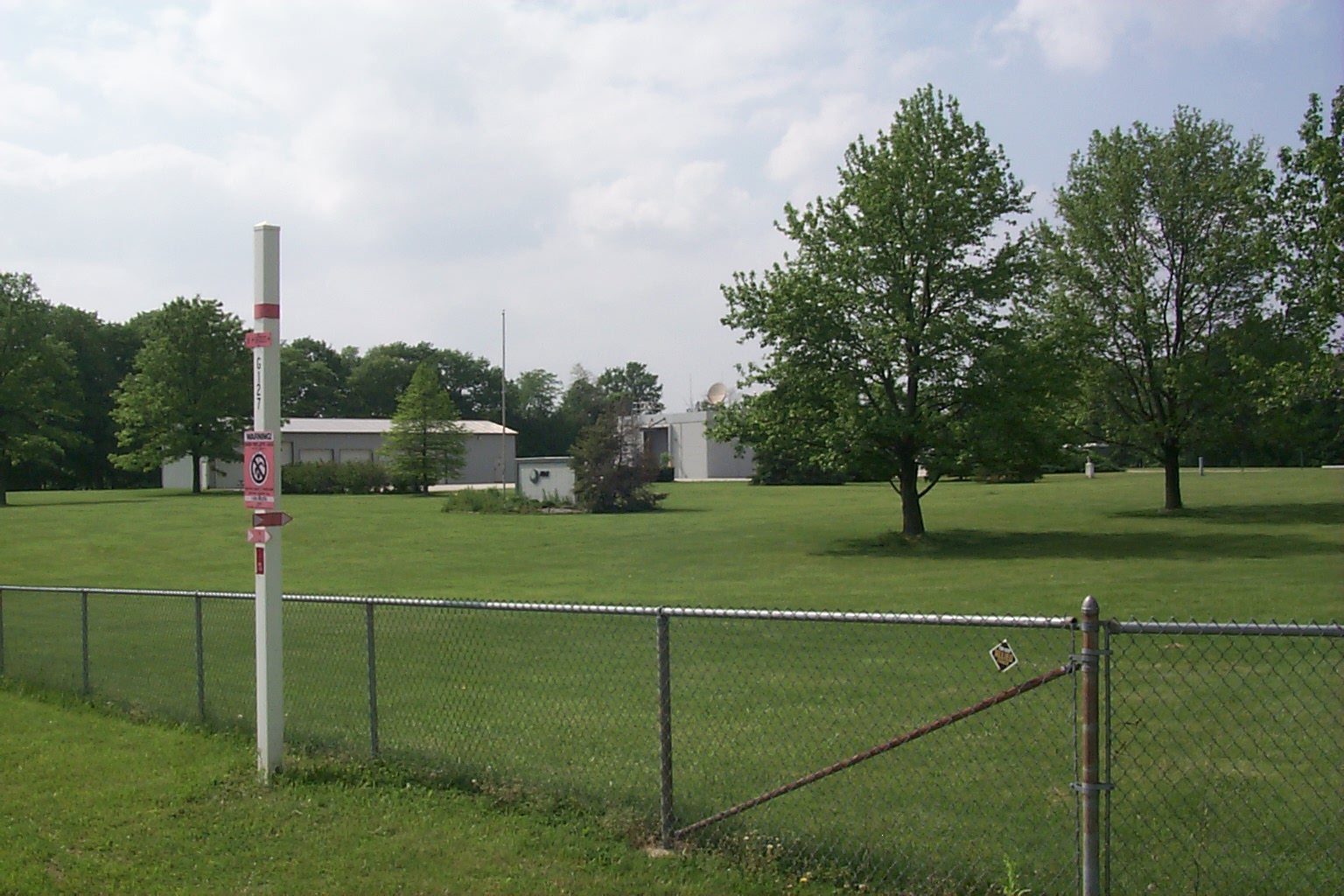
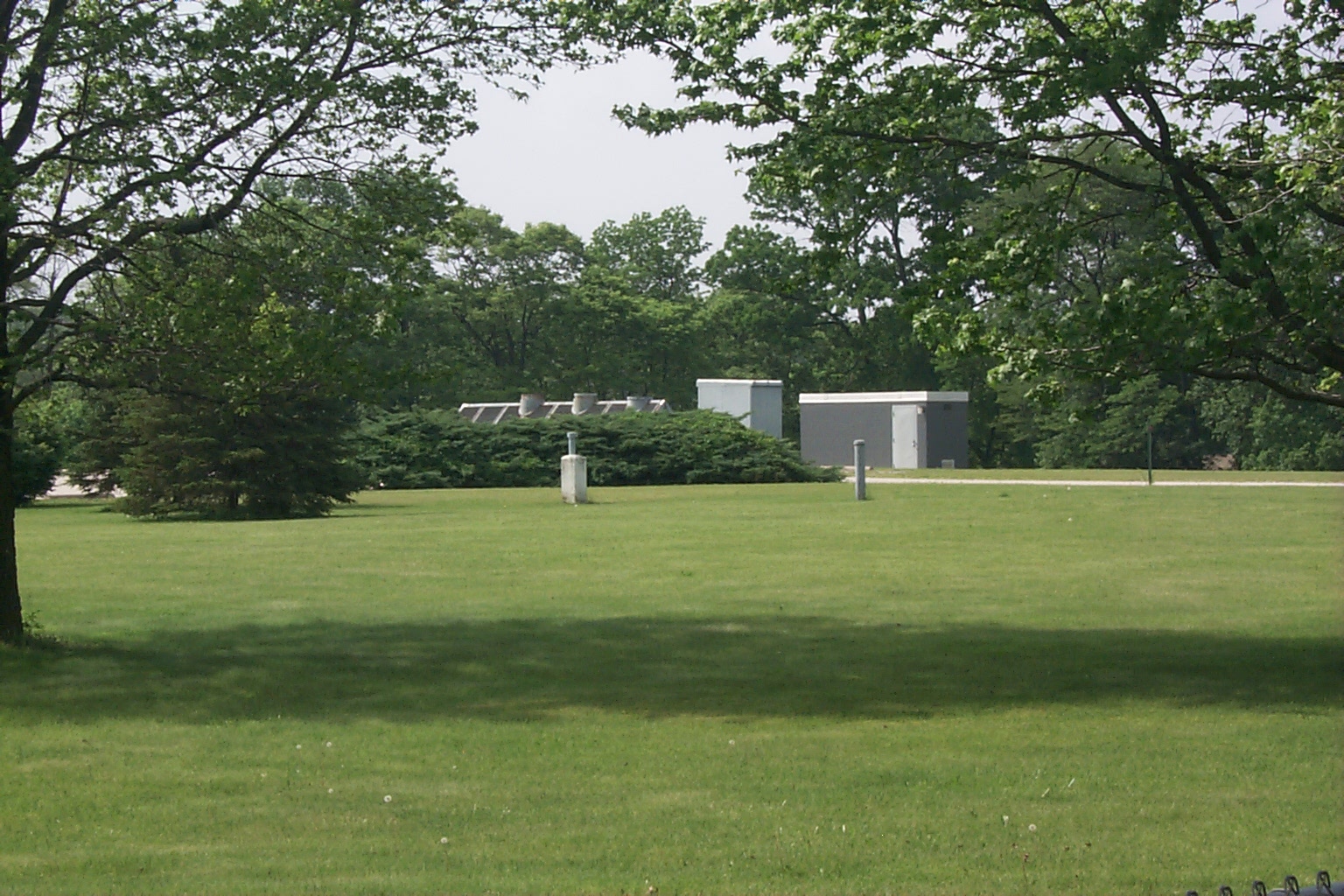
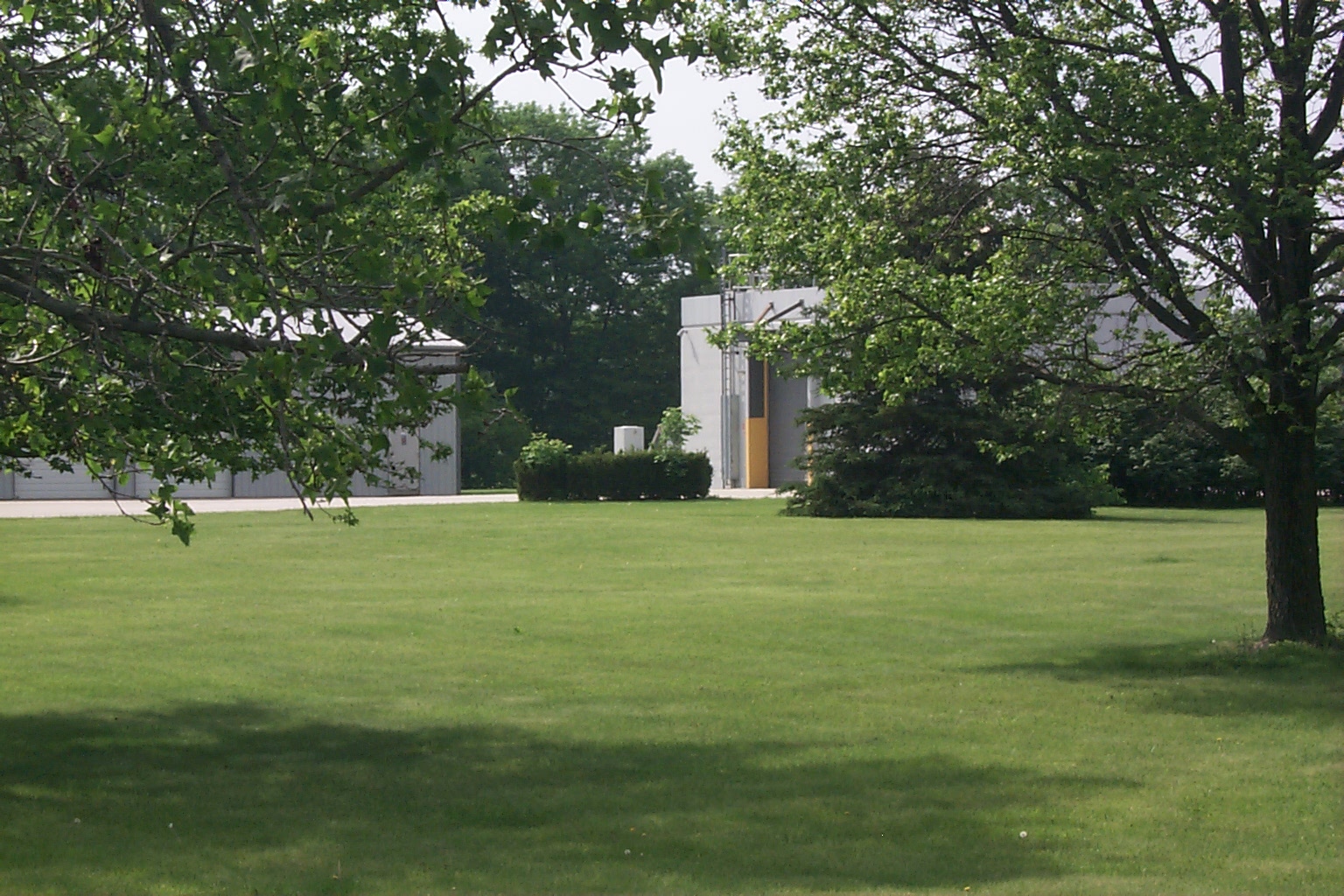
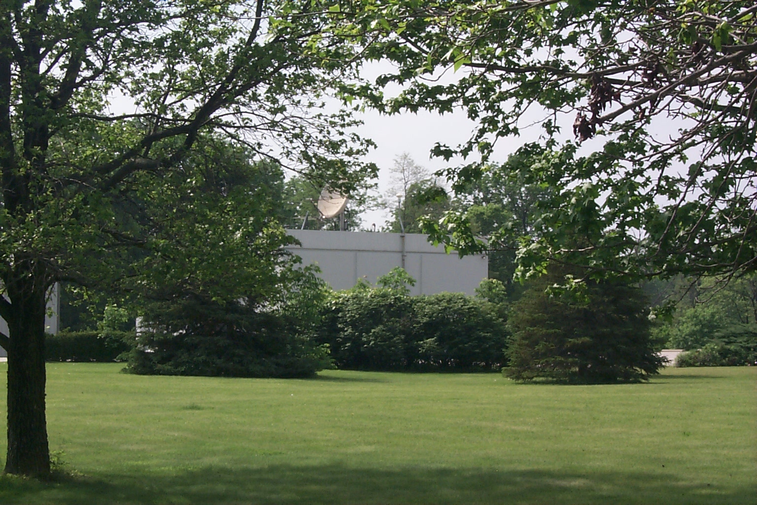
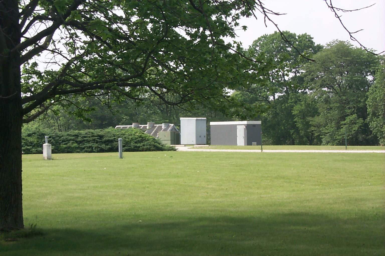
Xenia was the terminal main station for Dayton, Cincinatti, and Colombus,
OH. The station appears to still be in use, with all the cable markers
updated to indicate that the routes are now carrying fiber cables. There
is no microwave at this site. There appears to be a fiber link with the
South Springfield microwave site, where a new building appears to have been
constructed for the fiber terminal equipment.
Home| | Click on an image below to see the full size image. These pics were taken on
May 21, 2000.
This thumbnail page was generated by the evaluation version of ThumbsPlus
©2000 Michael W. Jacobs. Commercial use prohibited.